ご逗留エリア
オンライン予約ができる大洗観光情報総合サイト
© Oarai Tourism Association
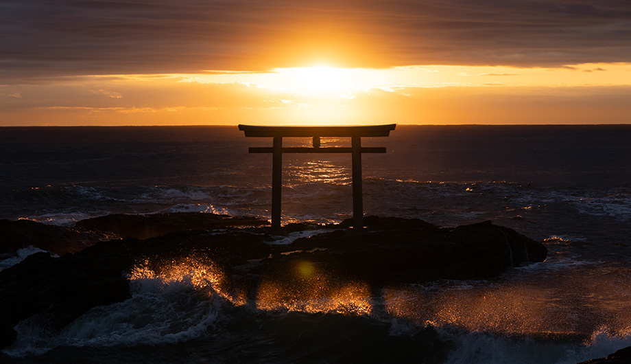
阿多可奈あたたかな、あわいの郷に大洗逗留。
2024.04.16
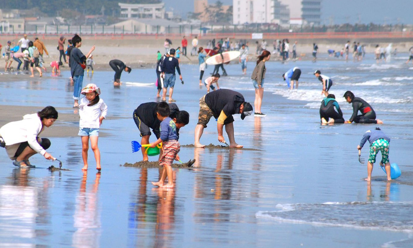
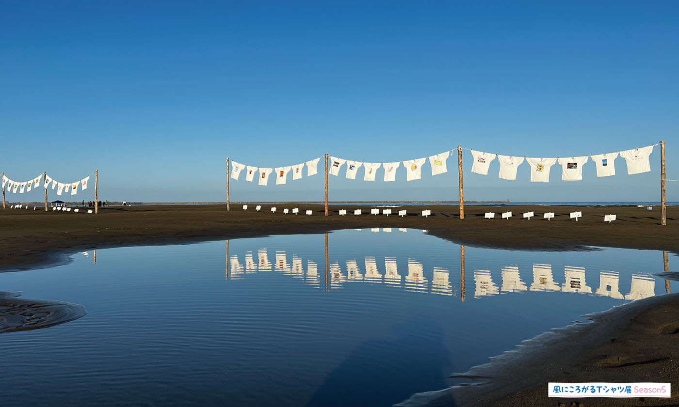
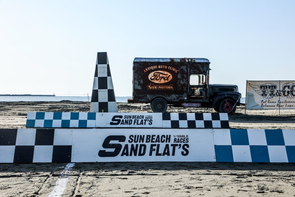
【開催報告】Sun Beach Sand-Flat`s2024が開催されました!
2024.03.19
観光情報ポータルサイト“よかっぺ大洗”が今春リニューアルしました。
2024.03.15
大洗町の公式イメージキャラクター 「アライッペ」
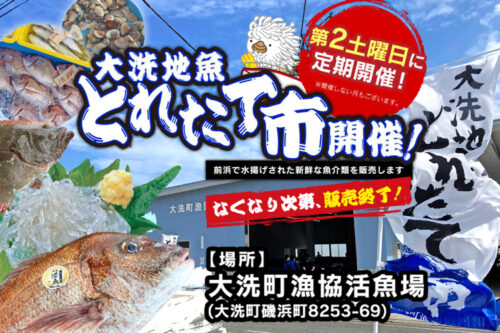
【2024年5月】大洗地魚とれたて市-毎月第2土曜に開催-
【2024年5月】大洗うみまちフードフェス2024
【2024年3月】Sun Beach Sand-Flat’s
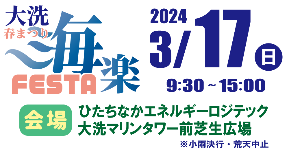
【2024年3月】大洗春祭り 海楽フェスタ
大洗町は茨城県中部の県央地域に位置しており、4つのエリアに分類されます。
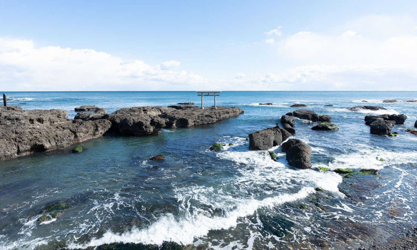
太古の海と森と川。信仰と保養の地
漁業と商業と暮らし。大洗町の中心地
茨城県内最大の遠浅ビーチと別荘地
関東唯一の汽水湖涸沼と広大な干拓地
特集 四季ごとに楽しむ大洗町。
特集 日本の聖地大洗を旅する。
観光協会のおすすめの旅
名所・神社仏閣・史跡・石碑・公園・文化施設
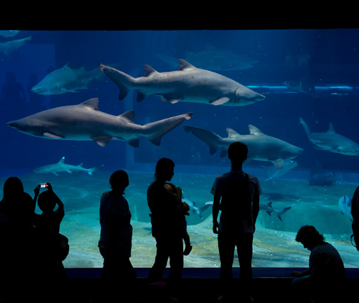
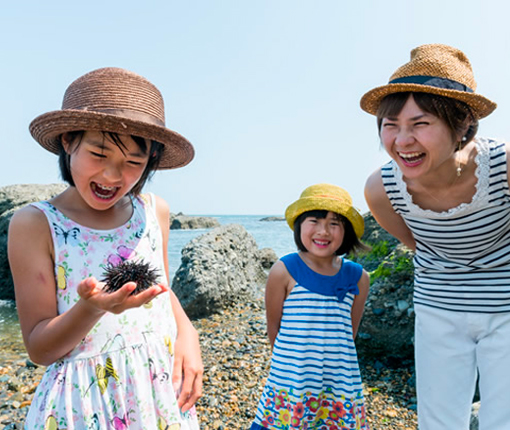
レジャー・自然体験・文化体験・ツアー
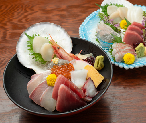
飲食店・特産品・お土産
都心から大洗まで特急"ひたち"を利用すれば電車で約90分
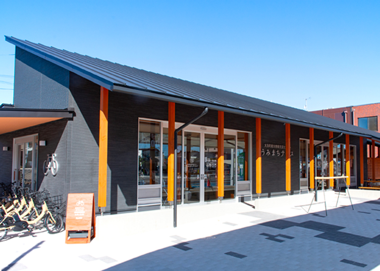
大洗駅に隣接する観光案内所です。 大洗町の魅力をより知っていただく為、観光案内はもちろん、レンタサイクルやレンタカーの貸出サービス、お土産品販売等を行っています。